top of page

Surveying & Mapping
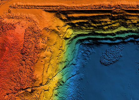
Next Aerial provides timely and accurate aerial survey services for all of Texas,. While we are not professional surveyors (we don’t delineate property boundaries) we certainly utilize survey grade equipment to collect and deliver accurate maps, contours, and point clouds to save you time and money. Preliminary topographic maps provide a wealth of information very quickly. Why wait on a traditional survey firm to slowly crawl your property when you can have survey-grade topographic maps and CAD drawings within days.
Our experience in the mining, construction, and engineering industries means that we can deliver the results you need.
-
Topo Maps
-
Stock Pile Volumes
-
Cut/Fill Maps

bottom of page